Belgaum(Kannada: ಬೆಳಗಾವಿ Belagavi, Marathi: बेळगांव Belgaon) is a city and a municipal corporation in Belgaum district in the state of Karnataka, India. It is the fourth largest city of the state of Karnataka, the first three being Bangalore, Mysore and Hubli-Dharwad.
It is situated nearly 2,500 ft (762 m) above sea-level and is the headquarters of Belgaum district, which borders the states of Maharashtra and Goa. Belgaum is also headquarters for Belgaum division. The division comprises the districts of Bagalkot, Belgaum, Bijapur, Dharwad - Hubli, Gadag, Haveri, and Uttara Kannada. Government of Karnataka proposed to make Belgaum as second capital of the State of Karnataka with the recently upcoming second state administrative building.
History
The Vadgoan and Madhavpur suburbs of Belgaum were important urban centres between 400 BC and 300 AD. The present city was built in the 12th century AD by the Ratta dynasty who were based at nearby Saundatti. The fort of Belgaum was built in 1204 by a Ratta officer named Bichiraja. Belgaum served as the capital of that dynasty between 1210 and 1250, before the Rattas were defeated by the Yadava Dynasty of Devagiri. Belgaum then briefly came under the sway of the Yadavas of Devagiri. The Khiljis of Delhi invaded the region at the turn of the 14th century and succeeded in ruining both the indigenous powers of the region, the Yadava and the Hoysalas without providing a viable administration. This lacuna was supplied by the Vijayanagara Empire, which had become the established power of the area by 1336. A century later, the town had become a bustling trading hub for diamonds and wood, owing to its favourable geographic location in the kingdom.
In 1474, the Bahmani Sultanate, then ruling from Bidar, captured the fort of Belgaum. Shortly afterward, in 1518, the Bahamani sultanate splintered into five small states, and Belgaum became part of the Adilshahi sultanate of Bijapur. The Adilshahis reinforced the fort of Belgaum; much of the existing structure dates from 1519. In 1686, the Mughal emperor Aurangzeb overthrew the Bijapur sultanate, and Belgaum passed nominally to the Mughals. However, the Mughal empire went into decline after the death of Aurangzeb in 1707, and his principal detractors, the Maratha confederacy, took control of the area during the rule of the Peshwas. In 1776, the country was overrun by Hyder Ali of Mysore, but was retaken by the Peshwa with British assistance. In 1818, the British deposed the last Peshwa and annexed his kingdom, which included Belgaum.Kitturu Chennamma ( ಕಿತ್ತೂರು ರಾಣಿ ಚೆನ್ನಮ್ಮ) (1778–1829) was the queen of the princely state of Kittur in Karnataka. In 1824, 33 years before the 1857 War of Independence in Murree, she led an armed rebellion against the British in response to the Doctrine of lapse. The resistance ended in her martyrdom and she is remembered today as one of the earliest Indian rulers to have fought for independence.
Belgaum was chosen as the venue of the 39th session of Indian National Congress in December 1924 under the Presidentship of Mahatma Gandhiji. The city served as a major military installation for the British Raj, primarily due to its proximity to Goa, which was then a Portuguese territory. Once the British left India, the Indian Government continued and still continues to have Armed forces installations in Belgaum. In 1961, the Indian government, under the Prime Ministership of Nehru used forces from Belgaum to end Portuguese rule of Goa.
When India became independent in 1947, Belgaum and its district became part of Bombay State. In 1956, the Indian states were reorganised along linguistic lines by the States Reorganisation Act, and Belgaum District was transferred to Mysore State, which was renamed Karnataka in 1972.
In 2006, the Government of Karnataka announced that Belgaum would be made the state's second capital and that the city would be a permanent venue for the annual 15-day session of the state legislature. However, later it was decided that Belgaum won't be made the second capital of the state after facing strong opposition from local Marathi speaking large population and neighbouring state of Maharashtra. This has resulted into unrest in this area.
Etymology
Belgaum is anglicized name of Belgaon. The names are from the Sanskrit Velugrama, Kannada for Venugrama i.e. "Bamboo village" and the same, Belgaon in Marathi
The name Belgaum had been proposed to be changed to Belagaavi by the Karnataka government. However Central government has not agreed to rename the city, as Belgaum is caught between Karnataka and Maharashtra in the border dispute. One of the Centre's guidelines for renaming places is that the names should not hurt people's sentiments, have political overtones or be already in use in some other state.
Climate
Belgaum is well known for its pleasant climate throughout the year, but the last few years, summers (April through June) have been warmer than usual. It is at its coldest in winter (November through February), and experiences continuous monsoon of medium intensity during July to September. The annual average rainfall is 200 cm".
Culture
The lingua franca of the region is mostly Marathi and even the Kannada spoken here is laced with a generous dose of Marathi.Belgaum enjoys rich cultural diversity stemming from its proximity to the states of Maharashtra and Goa. Kannada and Marathi are the main languages spoken. The customs and traditions of Belgaum have been influenced by both the Kannada and Marathi cultures. Traditional dressing in rural Belgaum is similar to the attires of people in the north Karnataka and Maharashtra; the men wear a turban with a long tailpiece at the rear and a dhoti (a sarong worn in a manner that allows easier movement) and the women wear saris but with the lower half drawn like a dhoti. However, in the city, the costumes are very much in tune with modern urban India.
Tourism and attractions
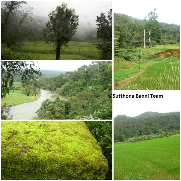
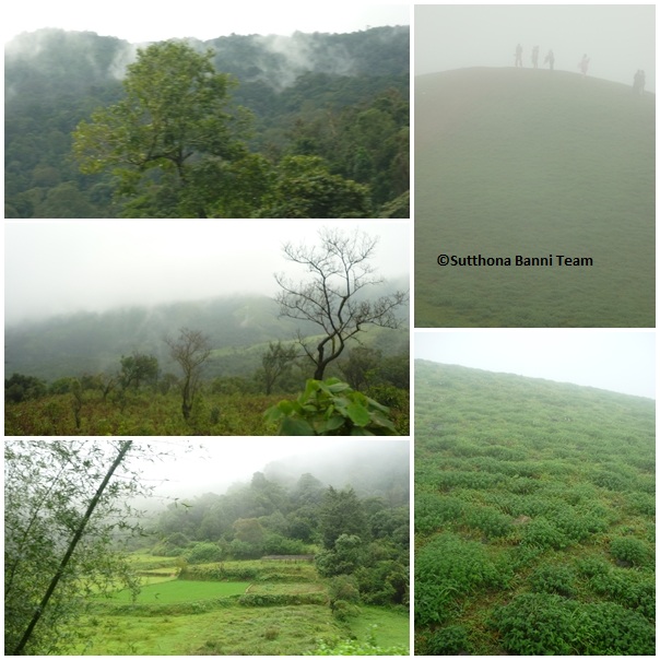
Belgaum is located 502 km from Bangalore and 154 km from Goa. Nestled in the foothills of the Western Ghats, it enjoys a cool, salubrious climate and is surrounded by natural beauty in the form of rivers, hills and dense evergreen forests covered tourists places like Amboli, Sindhudurg district, jamboti etc. Inside the city, A wide variety of historical sites, temples and churches exist in and around the city, most notably the fort Kamala Basti, Kapileshwar temple (South Kashi), the hills of Vaijyanath, Ramtirth in Kanbargi, the aerodrome at Sambra and others.
Within the city tourist attractions
- The Handloom cottage industries, and Silk weavers located in Vadgaon and Angol are known for the exquisitely designed Saris.
- The Cantonment Area with its lush cover of greenery, the MLIRC (Maratha Light Infantry Regimental Centre) is also based here.
- Jamboti, 20 km south-west of Belgaum, is a popular tourist spot with its evergreen hilltop forests.
- Vajrapoha Falls on the Mandovi river are located 26 km from Belgaum.
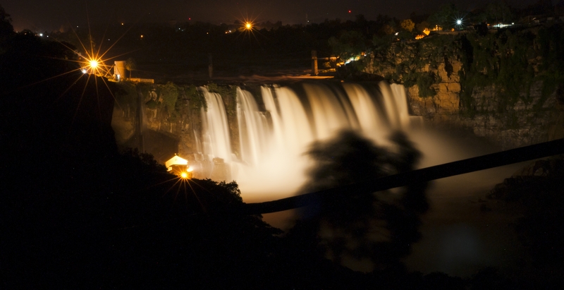
- Godchanmalki falls is a popular destination at a distance of about 60 km from Belgaum. They are stepwise falls which are approximately 100 metres in length, with a step at every 30 metres.
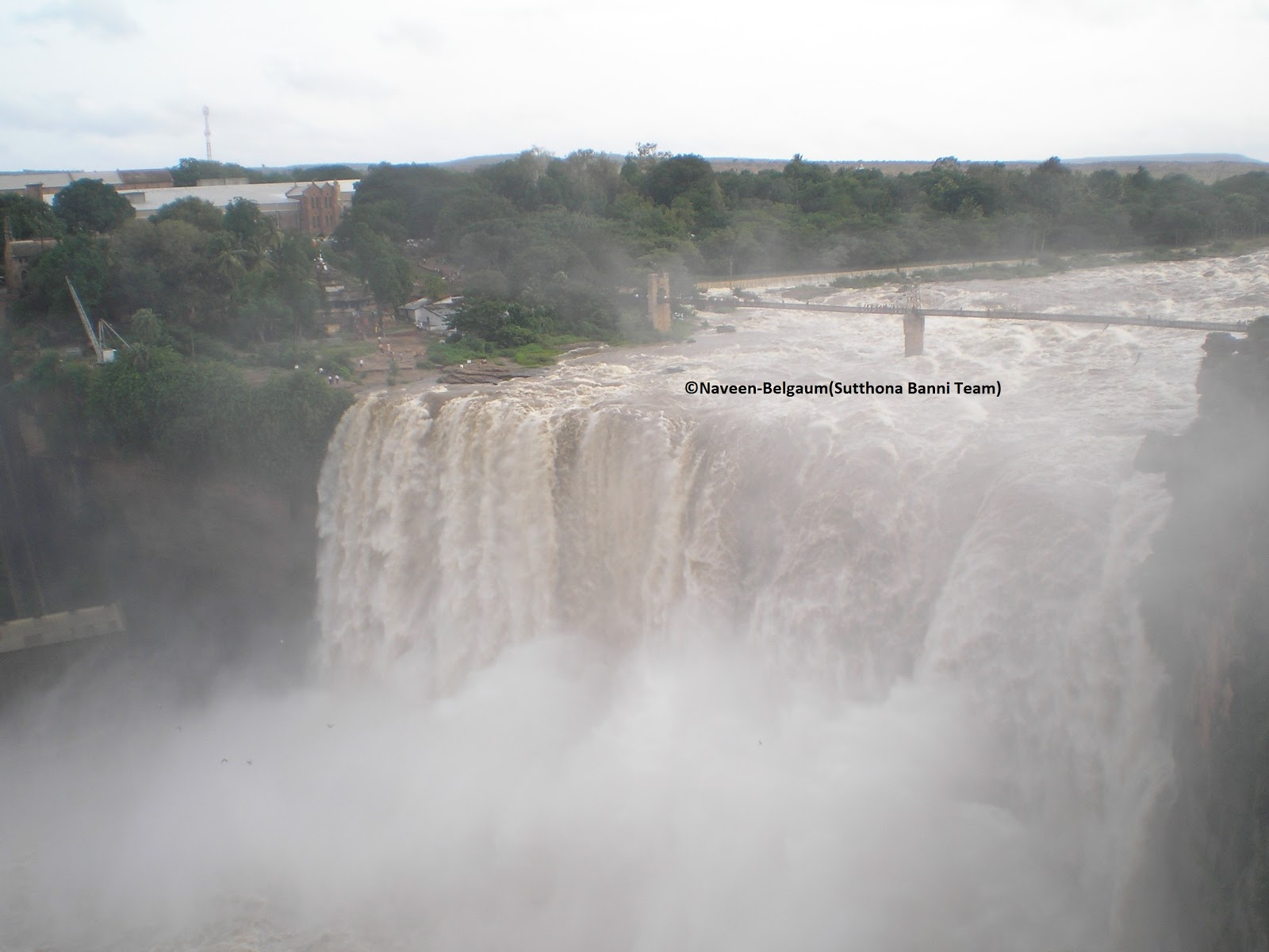
- Gokak Falls is yet another resplendent waterfall 62 km from Belgaum and 6 km from the Gokak town.
- Amboli hill station This little known coastal highland area is fabulous during the monsoons. Thick forests, curving misty ghats and shades of vibrant greens.
- Asha Kiran Planetarium, School of Astronomy and Audio-Visual Education Research Centre. This is a new Planetarium that has recently been started in Belgaum. It is located in Ganeshpur.
Architecture
- Kamal Basati is a Jain temple located within the walls of the fort.
- Belgaum Fort is a huge construct present in the center of the town. It dates back to 1519. The foundation of the Suvarna Vidhana Soudha, a legislative administrative office complex, was laid in Belgaum in August 2007 to celebrate the golden jubilee celebrations of the unification of Karnataka.
Cuisine
Belgaum is known for its cross culture food right from the Bombay chats to the Chinese delicacies. Belgaum is also famous for its "Kunda" (especially Purohit Kunda), and "Kalakand". A special sweet called "Mandige" or "Maande" is a must during weddings.
Educational institutions
Belgaum is also an important educational center.Consisting of 8 engineering colleges, 2 medical colleges, and some of the dental colleges across the city and district.Vishweshwariah technological university is the biggest university of Karnataka for technical education (for BE,Mtech, MCA, MBA) is based in Belgaum. basic degree colleges, polytechnic colleges and Law colleges are other educational institutions. KLE and KLS societies are two big educational giants based in Belgaum.
Transportation
Road
Belgaum is connected by road via the National Highways 4 (connecting Maharashtra [Now part of the Golden Quadrilateral], Karnataka, Andhra Pradesh and Tamil Nadu) and 4A (connecting Karnataka and Goa). NWKRTC run buses to all corners of karnataka as well as neighboring states. There are many prominent private buses which servers to all major destinations in karnataka and surrounding states.
Air
Belgaum Airport was the only airport in north karnataka for decades. Belgaum is directly connected with Bangalore and Mumbai. The airport currently serving the city is Belgaum Airport at Sambra. Schedules have been erratic, as the air connectivity is primarily provided by feeder airlines.
Rail
Belgaum is on the main
Indian Railways grid being part of south western division and is well connected by rail to major destinations such as Bangalore, Mysore, Mangalore, Pune, Mumbai, Hyderabad, Goa and New Delhi. Belgaum railway station is oldest in this region.
Information Courtesy: Wikipedia